There is a high likelihood that the phenomenon known as “El Niño” will emerge this summer – and it could be exceptionally strong. A so-called “super El Niño” could supercharge extreme weather events and push global temperatures to record heights next year if it develops, according to experts.
Meteorologists are keeping a close eye on the climate patterns developing in the Pacific Ocean that will enable stronger predictions about what’s to come in the year ahead, according a report seen by Food & Climate.
A strong El Niño would put 2027 in the running to break global heat records, and could produce a series of devastating effects, ranging from supercharged rainstorms to drought depending on the region of the world.
While it’s not “a slam dunk”, climate scientist and media director for Climate Central Tom Di Liberto said during a briefing held on Thursday, the ingredients for El Niño are there. Forecasts in spring can’t account for unexpected changes that can happen over the summer, he added, but “the risk is high enough to be worried”.
What is El Niño?
The ocean and the atmosphere are inextricably linked. That’s why forecasters look closely at ocean temperatures and conditions to help predict future weather patterns around the world.
Read also: El Niño could starve millions of Africans to death
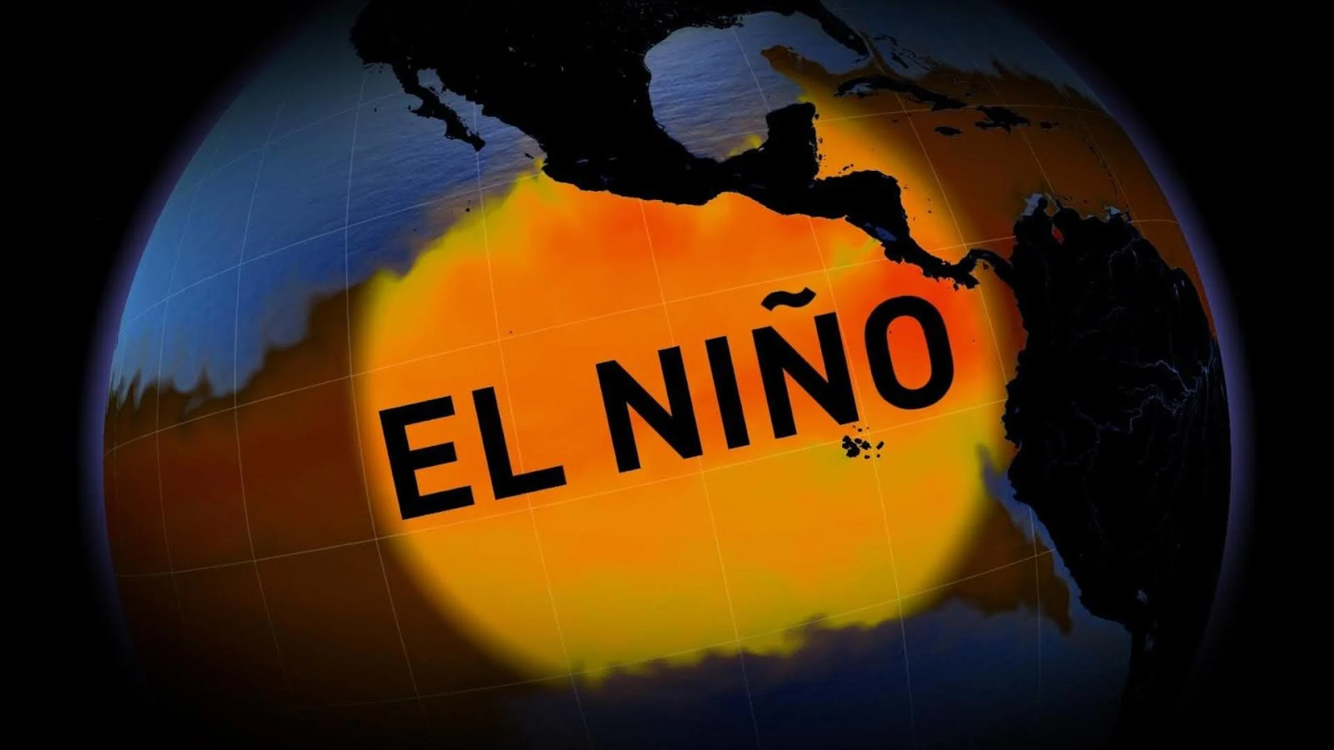
El Niño is characterized by warming of the ocean surface in the central and eastern tropical Pacific Ocean. It’s one of three states scientists observe; La Niña, conversely, happens when sea surface temperatures are below average, and neutral conditions are defined when neither El Niño or La Niña are present and surface temperatures are about average.
Conditions are currently shifting from La Niña to a neutral pattern, according to the latest outlook from the US Climate Prediction Center released on 6 April, but models are showing a 62% chance El Niño will emerge this summer and linger until at least the end of the year.
How will El Niño affect weather events?
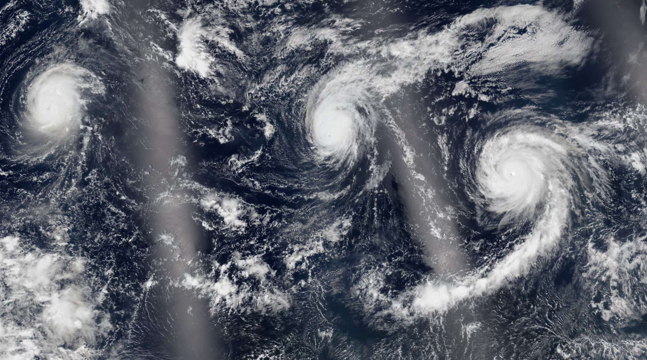
While there are many factors that create weather, El Niño can create a massive atmospheric upset. It alters jet streams and flips precipitation patterns, fueling more severe storms in some parts of the world, while desiccating others. It also has the power to spike rising temperatures even higher, at least briefly.
A super El Niño that occurred in 2015 brought severe drought in Ethiopia and water supply shortages in Puerto Rico, and smashed records after unleashing a vicious hurricane season in the central north Pacific, according to an analysis by US federal scientists, according to The Guardian.
Read also: FAO warns of maize shortfall across Southern Africa El Niño have decimated harvest prospects and point to rising prices
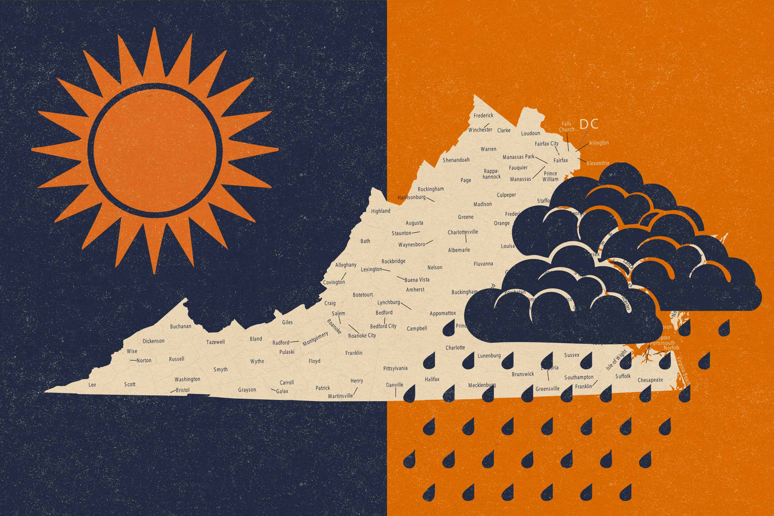
The cycle tends to create drought and heat across Australia, around southern and central Africa, in India and in parts of South America, including in the Amazon rainforest. Heavy precipitation, meanwhile, could hit the southern tier of the US, parts of the Middle East, and south-central Asia.
Deluges could come as a welcome relief for thirsty states in the US hoping water supply shortages caused by this year’s dire snowpack might be bailed out by a strong summer monsoon and wetter winter next year. But as Di Liberto pointed out, these dry conditions have largely been fueled by heat, and it’s less likely that these regions will get a reprieve from rising temperatures.
“It’s important to note when we are talking about the drought, a lot of it has been temperature-driven and not precipitation-driven,” he said.
Experts have also said that, most devastatingly, dry basins won’t be able to rebound after one wet season. That’s particularly true in the US south-west, where some reservoirs are at an all-time low.
Why are scientists talking about a ‘super El Niño’?
A “super” El Niño just means one that is stronger. These are rare events typically defined by sea surface temperatures spiking up by at least 2C. This has only occurred a few times since 1950 and only once have temperatures surged past 2.5C.
Read also: A study of how Asian’s agriculture be affected by climate change
The higher they go, the higher the likelihood that impacts from El Niño would be supercharged. Noaa scientists have given a one in four chance that this could happen by fall or winter, with the caveat that spring forecasts are sometimes muddled. Transitions in conditions that happen in the spring can make outcomes a bit harder to predict. But there are already key indicators that a strong or super El Niño could be forming.
More details: