Food & Climate
Satellite data indicates that deforestation in Brazil continues to decline, the country that hosted the last climate conference, COP30. It was the lowest since 2014.
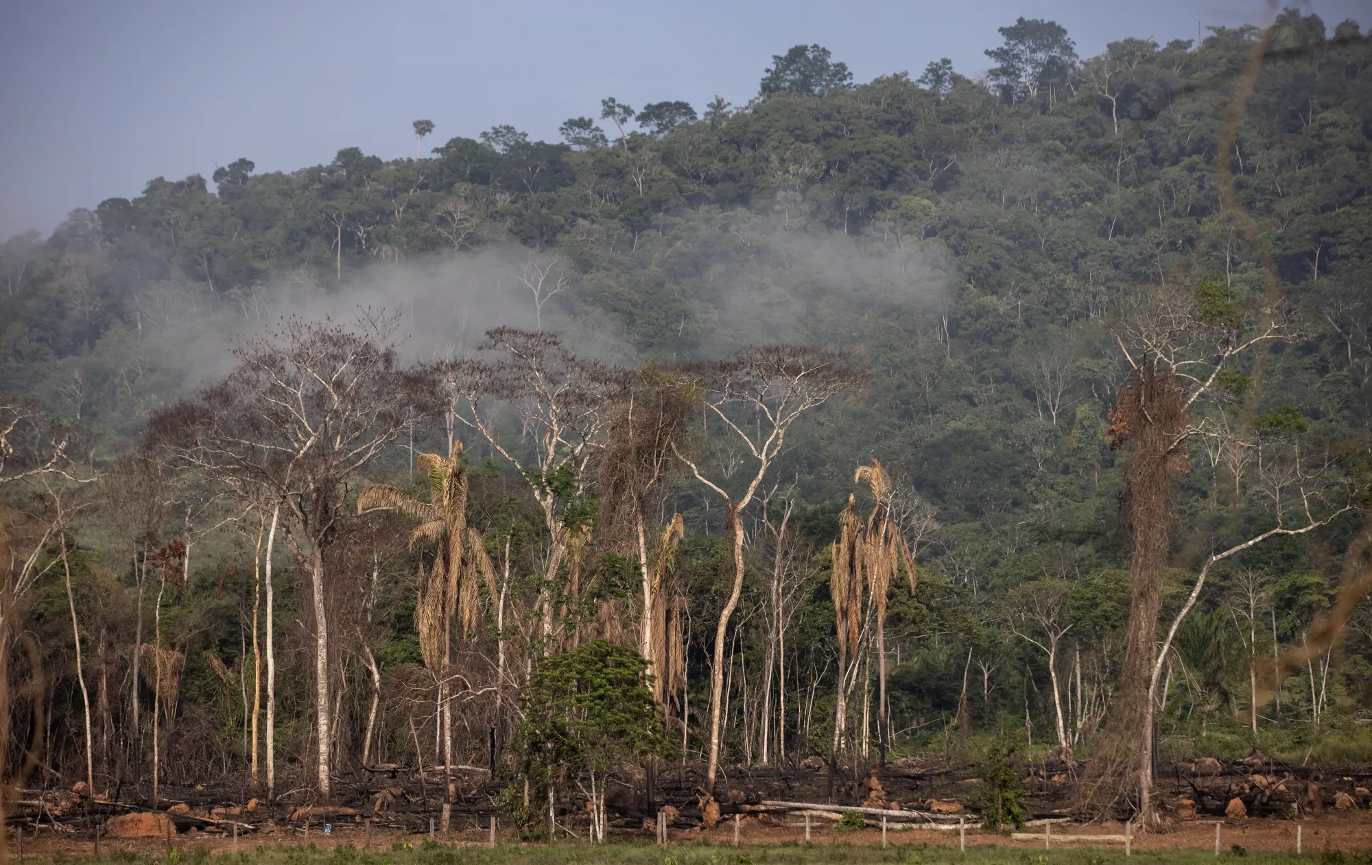
Brazil’s latest satellite alerts indicate that deforestation in the Amazon has continued to fall into early 2026, extending a downward trend that began after a sharp rise earlier in the decade, according to a report seen by Food & Climate.
Data released by the National Institute for Space Research (INPE) show that 1,325 square kilometers of forest clearing were detected between Aug. 1, 2025 — the start of Brazil’s deforestation year — and Jan. 31, 2026. That is down from 2,050 square kilometers during the same period a year earlier.
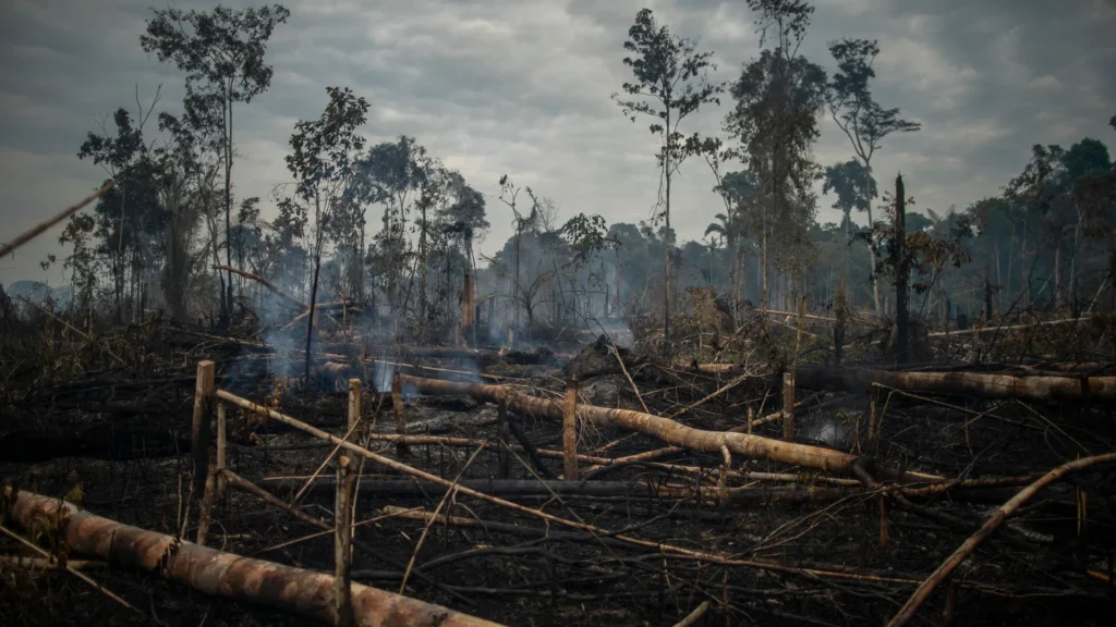
The area of deforestation in Brazil
Over a longer horizon, the picture is similarly positive from a conservation perspective. Alerts for the trailing 12 months totaled 3,770 square kilometers, compared with 4,245 square kilometers at this time last year, also the lowest since 2014, according to “Mongabay”.
These figures come from INPE’s DETER system, which uses near-real-time satellite imagery primarily to guide enforcement. While less precise than annual surveys, DETER is widely regarded as a reliable indicator of short-term trends.
Speaking at a press conference announcing the data last week, Environment Minister Marina Silva said the decline reflects coordinated government action. She noted that most high-deforestation municipalities have now joined federal initiatives aimed at curbing illegal clearing.
“Of the 81 municipalities with the highest deforestation rates, 70 have already made this commitment,” she said, referring to the Union with Municipalities program, adding that authorities are deploying resources from the Amazon Fund to support enforcement and prevention.
If current policies hold, Silva suggested the country could reach a historic milestone: “There is an expectation that we will reach, in 2026, the lowest deforestation rate in the historical series in the Amazon if we continue with these efforts.”
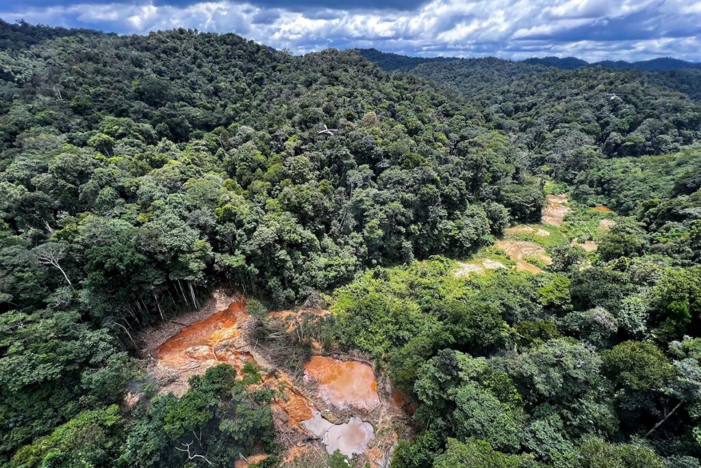
The forested savanna bordering the Amazon
Separate annual data reinforce the trend. INPE’s PRODES system, which uses higher-resolution imagery to produce official yearly totals, reported that deforestation in Brazil in the 12 months ending July 2025 fell 11% to 5,796 square kilometers, its lowest level in 11 years.
Independent monitoring broadly aligns with the government’s findings. The Brazilian nonprofit Imazon, which operates the SAD alert system, estimated that forest loss in the year ending Dec. 31, 2025 reached 228 square kilometers — near the lowest level in six years.
According to DETER data, clearing also declined in the Cerrado, the wooded savanna that borders the Amazon and has increasingly become an agricultural frontier. Deforestation there fell to 1,905 square kilometers, down from 2,025 square kilometers the previous year. Although less internationally prominent than the rainforest, the Cerrado is one of the world’s most biodiverse savanna ecosystems and a critical source of water for Brazil’s major river basins.
Short-term fluctuations in deforestation data should be interpreted cautiously. Satellite systems such as DETER and SAD cannot see through cloud cover, making monthly figures volatile during the rainy season from roughly November through April. Because most large-scale clearing occurs in the dry months, year-over-year comparisons — particularly over a full deforestation year ending July 31 — provide a more reliable measure of underlying trends.
Even so, the consistency across multiple datasets suggests that enforcement and policy changes under President Luiz Inácio Lula da Silva’s administration are continuing to suppress forest clearing. Whether that progress can be sustained will depend on economic pressures, infrastructure development, and climate-driven stresses such as drought and fire — factors that increasingly shape the fate of the world’s largest rainforest beyond the reach of chainsaws alone.